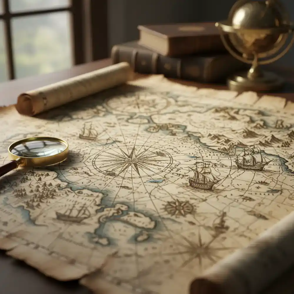
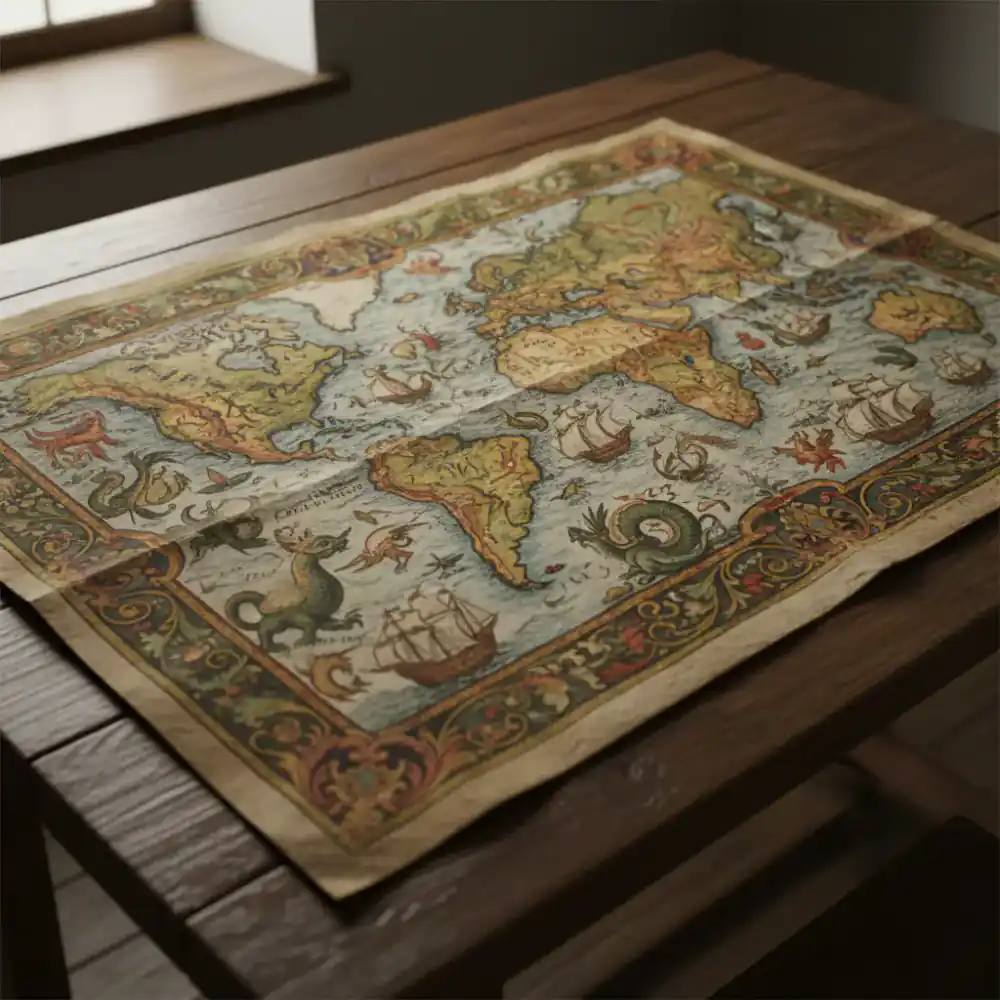
Age of Discovery
Journey through the golden age of exploration with maps that charted new worlds and redefined continents.
View Collection →
Discover History
Delve into MapVault's curated collection of antique cartography, where every print tells a story of exploration and discovery.
Browse CollectionsCurated Selections
Journey through the golden age of exploration with maps that charted new worlds and redefined continents.
View Collection →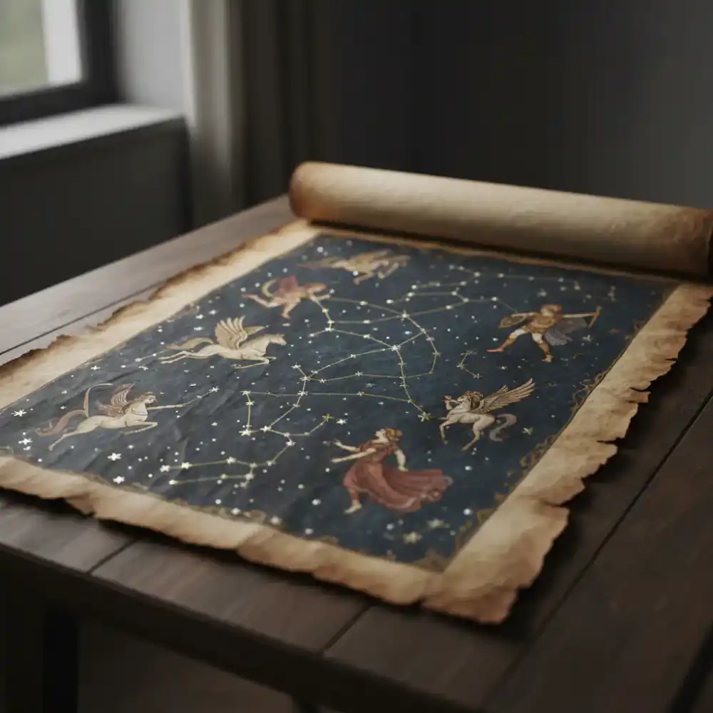
Gaze upon the stars as early astronomers saw them with our exquisite collection of celestial maps and constellations.
View Collection →
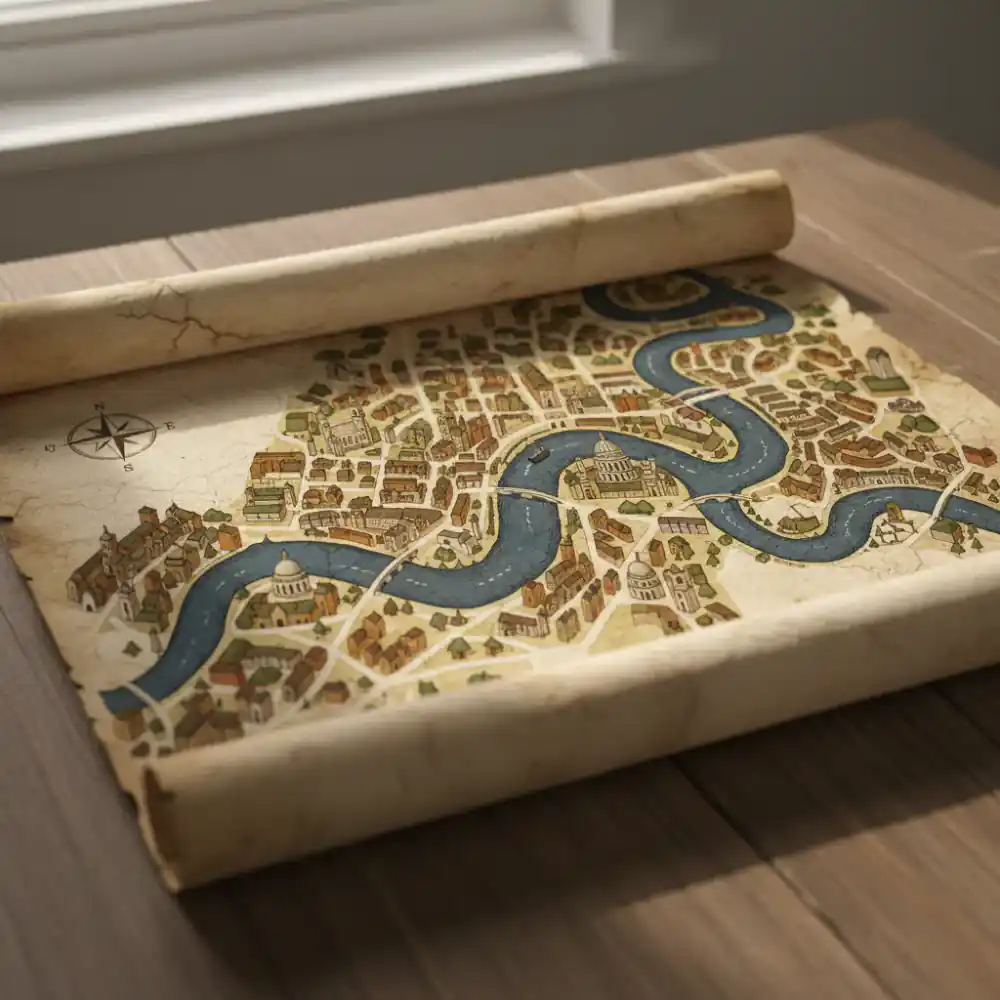
Explore detailed panoramic views and intricate street plans of historic cities from across the globe.
View Collection →Global Perspectives
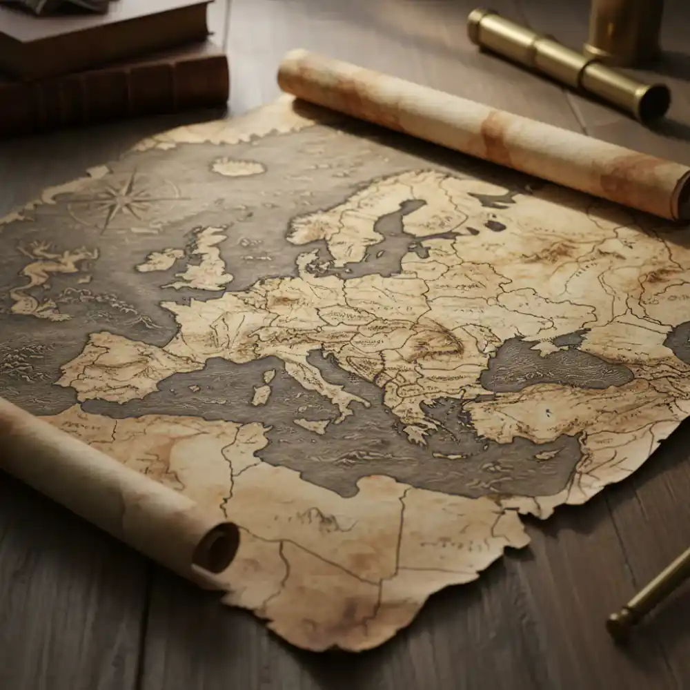
Explore the rich history of Europe through its evolving borders, famous cities, and intricate topographical details. Our collection spans from ancient Roman maps to detailed 19th-century atlases.
Discover Europe →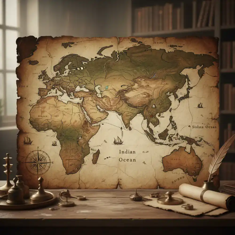
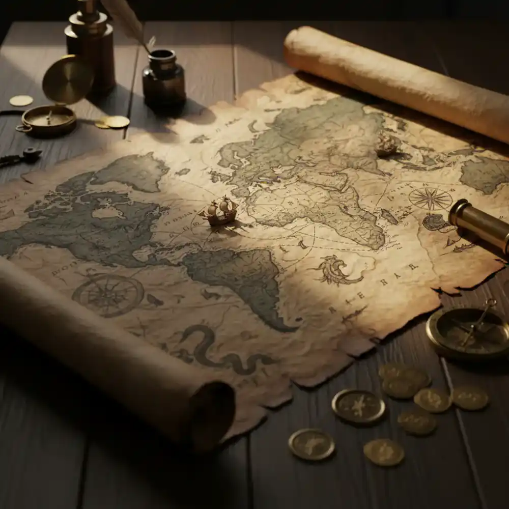
Uncover the ancient trade routes, imperial territories, and diverse cultures of Asia and the Middle East. From intricate celestial charts to detailed regional maps, these pieces reveal fascinating historical narratives.
Explore Asia →Timeless Journeys
Renaissance cartography, early global maps.
View Era →Dutch Golden Age, detailed regional atlases.
View Era →Enlightenment era, scientific cartography.
View Era →Industrial Revolution, detailed national surveys.
View Era →Authenticity Guaranteed
At MapVault, every antique map and print in our collection is meticulously sourced from reputable dealers, private collections, and established auction houses worldwide. Our commitment to authenticity ensures that each piece you acquire is a genuine artifact of history.
We provide detailed provenance for our most significant pieces, offering insight into their journey through time. From the careful inspection of paper quality and watermarks to the study of printing techniques and historical context, our experts ensure the integrity and value of your investment.
Learn Our Story →
Fresh Finds
Early 18th Century, Hand-Colored
£850.00
View Details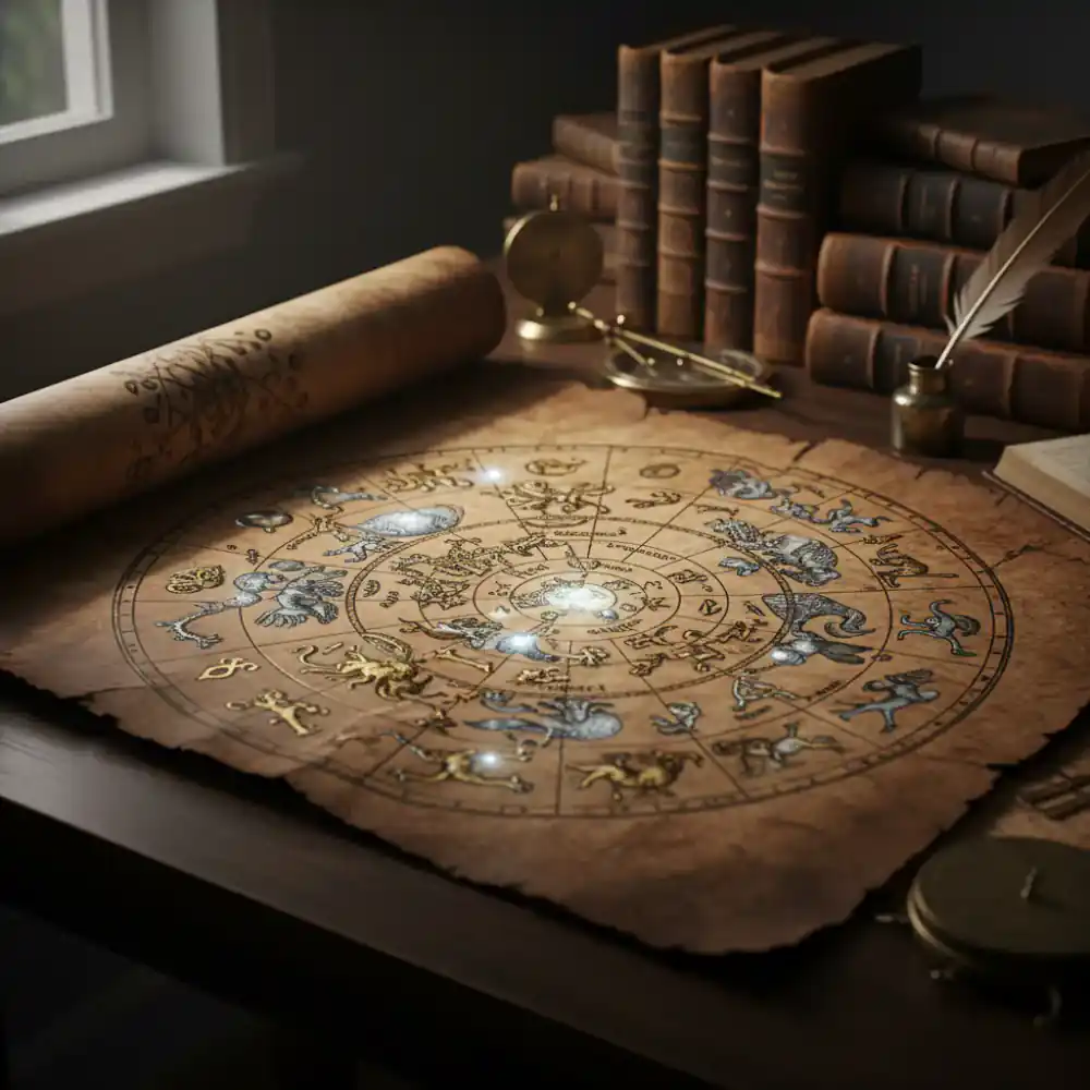
Mid 19th Century, Copper Engraving
£420.00
View Details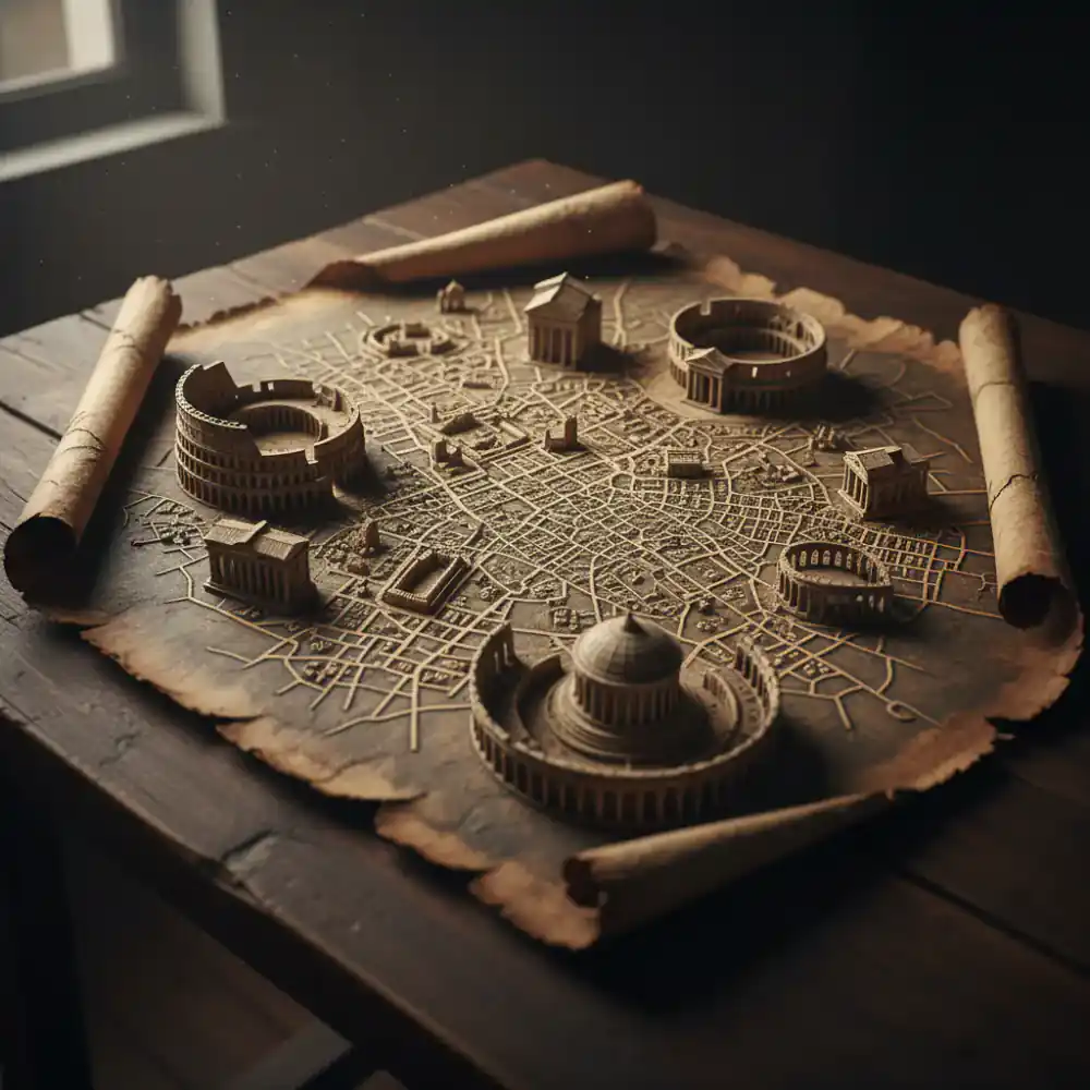
17th Century, Detailed Perspective
£680.00
View Details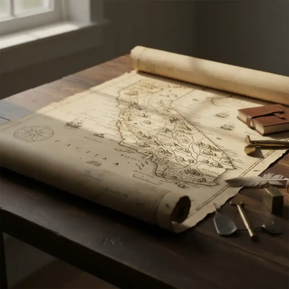
Mid 19th Century, American West
£590.00
View DetailsHighly Prized
A masterpiece of 17th-century cartography, showcasing beautifully engraved and hand-colored maps of all known continents. A true collector's item.
£1,800.00
18th Century, John Rocque's Surveys
£650.00
View Details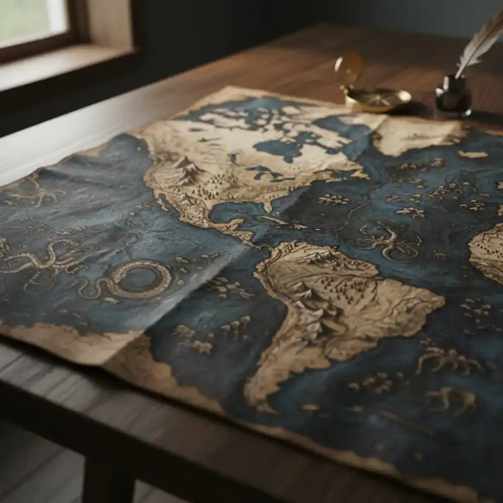
16th Century, New World Exploration
£1,200.00
View Details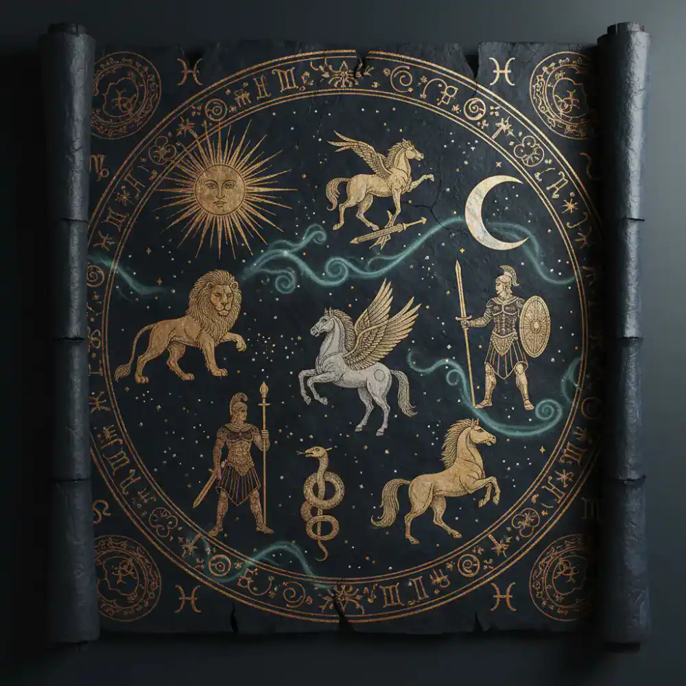
Reproduction, Ptolemaic Astronomy
£180.00
View Details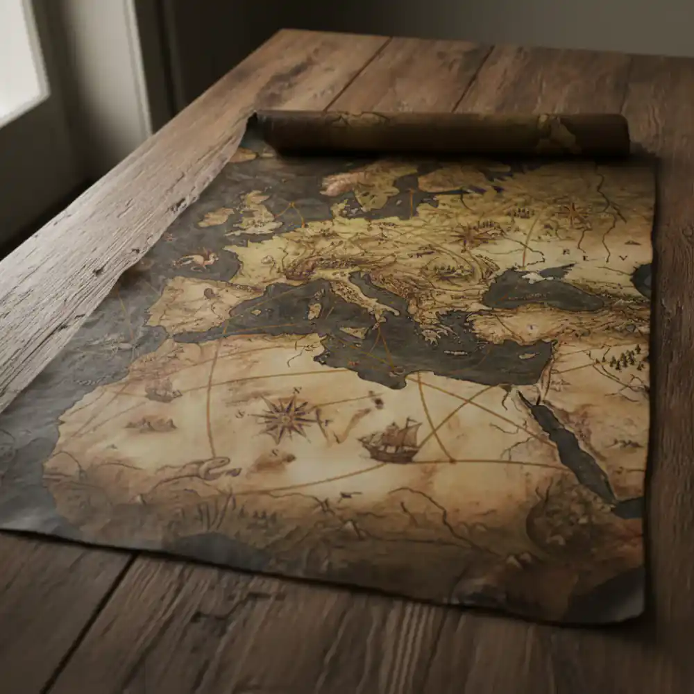
19th Century, Nautical Navigation
£720.00
View DetailsBeyond the Horizon
Our collection is constantly expanding. If you have a specific map in mind, or wish to commission a search, our team is here to assist you.

More Than Just Maps
Beyond their historical and geographical significance, vintage maps possess an inherent artistic quality. Their intricate details, beautiful calligraphy, and the artistry of their engravers make them stunning pieces of wall art and conversation starters.
At MapVault, we celebrate this blend of history and art. Discover how these timeless works can enrich your home or office, offering a unique window into the past and a sophisticated aesthetic statement for the present.
Learn More About MapVault →